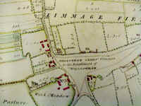
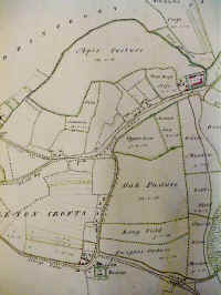
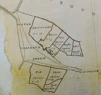
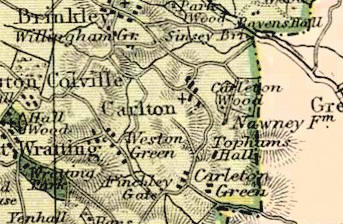
Carlton and Willingham Green in 1767
The Cambridge
Record Office (CRO) has allowed me to photograph and post a
selection old maps of Carlton. In the future I hope to add some interactive
mapping features, but in the meantime this page shows some raw images of these maps.
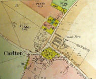
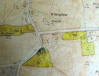
Reference: CRO R54/21/1
This map has the title "A Plan of the Manors of Carleton cum Willingham in
the County of Cambridge and of Bradley in the county of Suffolk belonging to
Thomas Brand Esq. taken in the year 1767"
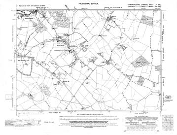
This map is huge, and heavy. I would estimate five foot by eight, but I will
have to measure it next time I see it. This makes it very difficult to view, and
to photograph, as I couldn't unroll it all at once! For a document from 1767 it
is in exceedingly good condition, and it is hard to believe that someone once
painted all those little hedges.
The 1767 Thomas Brand map now has it's own page
with more photographs than before, click on the thumbnails below. |